
Canyon Lake Neighbors by Parcel
Canyon Lake is an unincorporated Comal County community, so the block-level record trail begins with the county geographic information system, or GIS, and the appraisal roll. Start with one exact address, then use the map to identify the target parcel and the polygons that border it. A parcel is a property unit, not a household. It can be vacant, held by a trust or business, or owned by someone who lives elsewhere. The most accurate description of the result is an adjacent-parcel record, even where a nearby owner appears in public data.
| Block source | What it can show nearby | Access route |
|---|---|---|
| Comal County GIS | Parcel geometry, roads, map context, and approximate boundaries | Public GIS landing page and interactive map resources |
| Comal Appraisal District (CAD) eSearch | Property account route, assessed owner, situs or physical location, legal description, and other parcel data | Public research search, updated each business day |
| County Clerk ROAM | Recorded deeds, plats, easements, and legal-description history | Index, account, or clerk-request route |
| Texas voter records | Individual registration check or a legally limited statutory-list route | Portal or request, with suppression and protected-record limits |
| Association public pages | Community geography, notices, and member-resource boundary | Public information only; no member roster located |
The county tax portal can be a useful second check because it separates property location from an owner mailing address. Neither field proves current occupancy. If the goal expands from a few adjacent parcels to a complete named street, use the separate Canyon Lake Street Directory record chain rather than treating a map view as a complete street roster.
Note: Preserve the exact address, parcel identifier, and search date because map and appraisal data can change.
Map a Canyon Lake Block
The documented block method is address to GIS, GIS to parcel or Geographic ID, then parcel to CAD. Comal County publishes interactive maps, dashboards, PDFs, and downloadable data, and cautions that its boundaries are approximate rather than legal surveys. The live viewer’s identify, select, measure, or buffer controls were not available in the text capture. Use only controls visible in the live map and do not assume a tool exists because another map has one.
- Open the Comal County GIS resources and locate the target street or parcel using the exact address.
- Open the target polygon and note the parcel or Geographic ID shown by the map or linked data.
- Select each bordering polygon one at a time, recording its identifier instead of copying a speculative household name.
- Enter each identifier, owner name, or normalized street number and name in CAD eSearch, then compare the situs and legal-description fields.
For deed or lot-and-block context, use the current owner or legal description in ROAM. A subdivision plat can explain roads, easements, and lot boundaries when a postal address changes. The road or parcel shape is useful context, but only a surveyor can resolve a legal boundary question.
Address-dated permit records add another limited property layer. The County Engineer’s environmental search accepts date ranges, permit number, name, address, and subdivision, with an interactive-map route. Septic, floodplain, driveway, or related filings can document a property event when the record is indexed, but the research did not locate a published coverage start date. An applicant or owner-related name on a permit is not proof that the person lived at the address. Use the permit number, date, and parcel context to request a specific record if more detail is needed.
A simple Canyon Lake neighbors flow is: address, GIS parcel, adjoining parcel IDs, CAD account cards, then a dated deed or plat if the property question remains. Each step narrows the property trail without turning owners into a list of residents.
Canyon Lake Parcel Records
CAD offers more than a name search. Its eSearch fields include owner name, street number and street name, Property ID, Owner ID, Geographic ID, subdivision, condo, neighborhood, tax year, abstract, property type, DBA, and appraisal or protest fields. The owner format is last name first name or last name, first name. For an address, CAD directs users to enter the number and street without prefix, suffix, or unit. Those rules matter when a lake address has a local road label or an older community name.
Read the property fields separately. Situs means the physical parcel address. A mailing address can point to a post office box, business, former address, or an address outside Comal County. A homestead exemption can be consistent with owner occupancy but does not identify every occupant. The County tax search likewise distinguishes account number, owner name, owner address, and property location. Those distinctions prevent a Canyon Lake neighbor search from making claims the record cannot support.
- Parcel
- A mapped piece of property assigned an account or geographic identifier for land and tax records.
- Situs address
- The property’s physical location, which can differ from the owner mailing address.
- Plat
- A recorded map that shows a subdivision’s lots, blocks, roads, easements, or related legal layout.
- Legal description
- The lot, block, subdivision, or metes-and-bounds wording used to identify land in a recorded instrument.
Canyon Lake Hills POA Boundary
Canyon Lake Hills Property Owners Association, or POA, is a major local association with nearly 2,500 properties in its described community context. Its public materials provide association announcements and member-resource structure. They are useful for checking whether an address falls within the association context, but the reviewed public pages do not publish a member directory. An association page should never be read as proof that a named person owns or occupies a particular parcel.
Canyon Lake Hills POA’s public home page illustrates the public information layer and the distinction between public notices and private member resources.
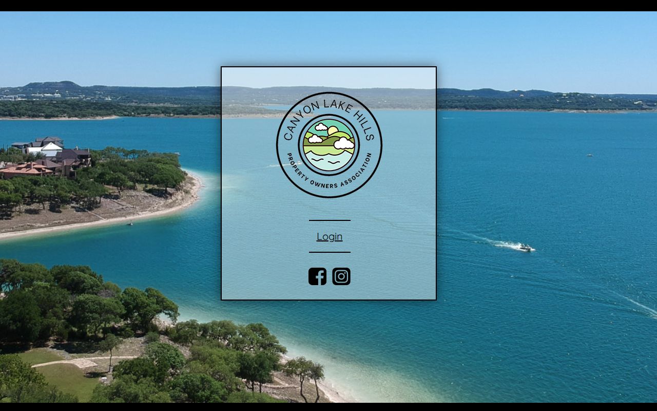
The absence of a public member directory is important. Use the POA page for association geography or announced information, then return to county parcel records for a separately sourced property question.
Mystic Shores Community Context
Mystic Shores gives a different Canyon Lake neighborhood context. Its public description identifies about 7,000 acres, more than 2,100 homesites, roughly 50 miles of roads, and individual septic systems. Those numbers show the scale of the community and why a parcel, subdivision, road, or permit may be a more useful research key than a generic postal-city name. They do not provide a resident count or a source for identifying every household.
Mystic Shores’ public home page is shown here. The public view is helpful for community and property context, while individual records still require the county parcel, plat, permit, or clerk route.
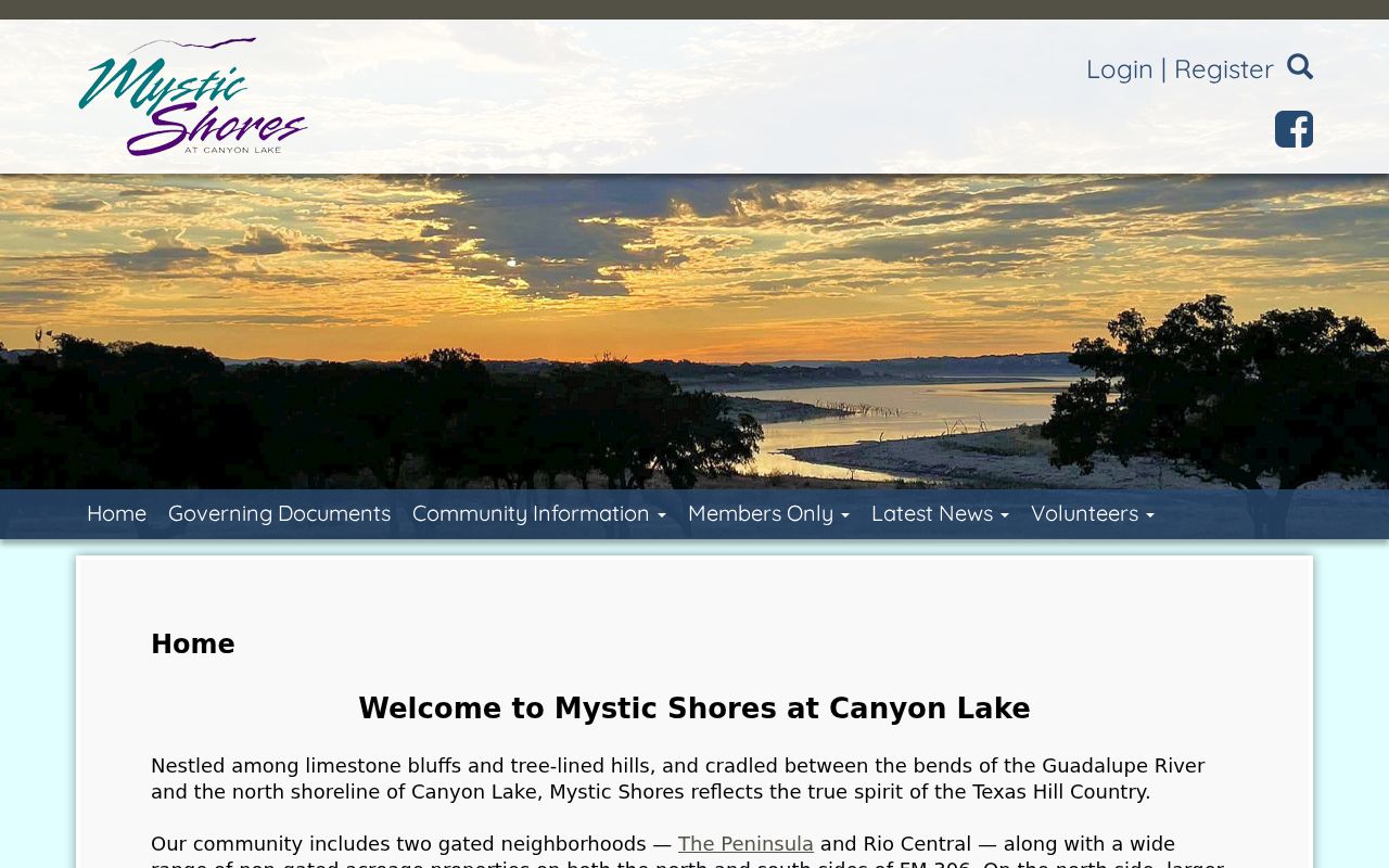
Private-road, gate, or septic context can explain differences between map labels and local descriptions. It does not create a public right to association member information.
Note: Use association sources to understand a community’s public context, not to identify unlisted members or households.
Canyon Lake Voter File Limits
The Texas My Voter Portal is designed for an individual registration check. It uses name, county, date of birth, ZIP code, or VUID and can return registration, polling-place, district, and related information. It is not a public street roster. A full voter list has a separate Chapter 18 request path through the county voter registrar or the SOS. Any request should identify the statutory list, delivery format, date or precinct scope, and permissible use, with current fee and file details confirmed before submission.
Election Code protections remain in force. Web suppression can limit a voter’s online visibility, and protected-voter or Address Confidentiality Program rules can provide stronger address handling. A voter record does not show ballot choices. Do not copy protected identifiers, personal contact details, or a purported block roster from any source.
Canyon Lake Neighbor Privacy Limits
Public property records are not a household census. Nonowner occupants, household members, utility customers, delivery customers, protected voters, Address Confidentiality Program participants, and DMV addresses are not open neighbor-search results. Texas privacy and records rules may also require redaction or restrict a particular address. When information appears inconsistent, the correct next step is to verify the parcel, deed, court record, or custodian process rather than guessing about a person.
| Official record approach | Commercial neighbor tool category | Practical difference |
|---|---|---|
| GIS, CAD, ROAM, or a specific custodian request | Compiled property, marketing, and inferred-association data | Official sources identify their scope; compiled results can be stale, merged, or incomplete. |
| One address and one defined record question | Broad name or relationship claims | A narrow record trail is easier to date, verify, and correct. |
Lawful use. Use Canyon Lake neighbor records for personal, lawful property context, community awareness, or a specific public-record question. Never use information to stalk, harass, threaten, or intimidate anyone.
Canyon Lake Community Sources
Community resources can add context without becoming a resident directory. The Canyon Lake Area Chamber directory has public business and organization categories with keyword, category, and ZIP filters. It can identify a community service or organization, not who lives at an address. Tye Preston Memorial Library’s public calendar also lists civic events and mobile-library stops, but the library cautions that independent event organizations are not necessarily affiliated with it.
For a past resident or family connection, county-level resources are often stronger than a Canyon Lake name search. The Comal County Genealogy Society and Sophienburg archives cover marriage, birth and death, probate, naturalization, census, cemetery, church, school, obituary, and family-history material. Search community labels such as Sattler, Startzville, or Cranes Mill alongside Comal County when the exact modern label does not appear in an older record.
Regional naming is a practical Canyon Lake research issue. Historical material may identify a ranch, post office, school, road, or Comal County instead of the modern CDP label. The county-hosted water-service map materials also use local community and road names. Pair an exact street with FM 2673 or FM 306, a subdivision, and the historical community label where relevant. That approach can surface a plat, cemetery, directory, or newspaper lead without claiming that a community resource identifies present neighbors.
Note: Community directories and event listings provide organization context, not attendance, membership, ownership, or present residence proof.