
Canyon Lake ZIP Coverage
The Canyon Lake ZIP code directory begins with five ZIP Code Tabulation Areas, or ZCTAs, surfaced by a Census geography query: 78070, 78132, 78133, 78623, and 78666. A ZCTA is a Census statistical approximation, not a USPS delivery route. The research did not locate an official neighborhood list, post-office route, population, voter count, split year, or unique or post-office-box designation for each code. The entries below therefore describe the limited geography result without treating it as a delivery map.
| ZIP or ZCTA surfaced | Area context found | Post office or station | Research-safe reading |
|---|---|---|---|
| 78070 | Overlapping Census search result | Not located in official sources | Verify an address with USPS; do not assume every result lies in the CDP. |
| 78132 | New Braunfels and Comal regional overlap | Not located in official sources | A ZCTA or profile geography, not an exact delivery boundary. |
| 78133 | Canyon Lake and Sattler-area postal association in local addresses | Exact route or station list not located | Use USPS for a street result; a postal label does not establish incorporation. |
| 78623 | Overlap toward the surrounding rural region | Not located in official sources | May reflect ZCTA geometry rather than a typical Canyon Lake mailing label. |
| 78666 | Overlap toward the surrounding regional area | Not located in official sources | Verify a specific address; it is not a claim that the whole ZCTA is Canyon Lake. |
These five ZCTAs are not five delivery zones inside Canyon Lake. A complete street address, checked in USPS, is the only supported way to identify a delivery ZIP for one location. The ZIP code directory is a geography and verification aid, not a complete list of people or addresses.
Canyon Lake Census Geography
The Census TIGERweb CDP reference establishes Canyon Lake as a Census-designated place in Comal County. That classification explains an important records limit: no separate Canyon Lake municipal clerk, city tax roll, city court, or city permit office was located in the research. County offices are the main public-record custodians for this lake-area geography.
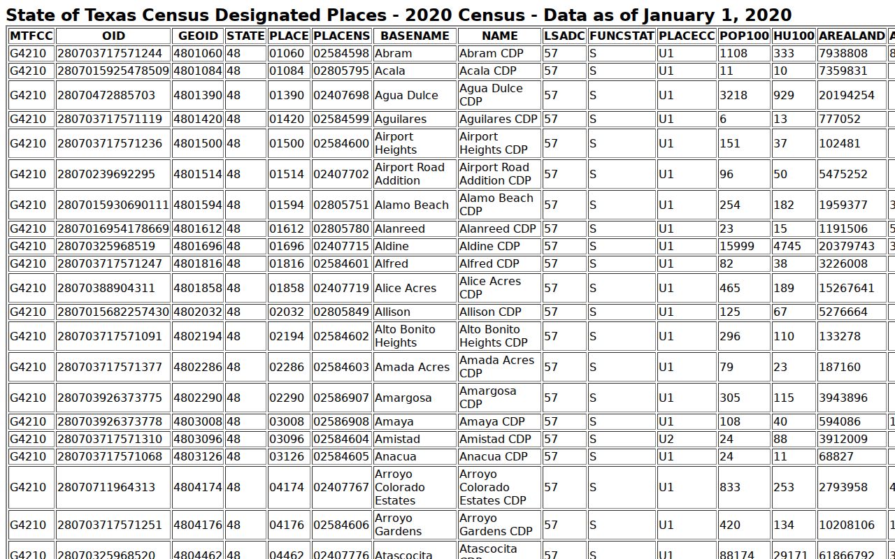
The Census boundary helps describe a statistical area. It does not assign a postal ZIP to a parcel, establish a USPS route, or replace the county's address and property records.
Postal city names, a CDP label, and county jurisdiction can all differ on the same search. Preserve each source's wording rather than replacing it with a single generic city field.
Verify Canyon Lake ZIP Codes
USPS ZIP Code Lookup is the official address-level check. Enter the complete street address, save the returned location and ZIP or ZIP+4 when supplied, and record the date checked. The research capture did not contain a stable interactive result for a representative local address, so it does not identify a station, route, or postal relationship for any particular Canyon Lake street.
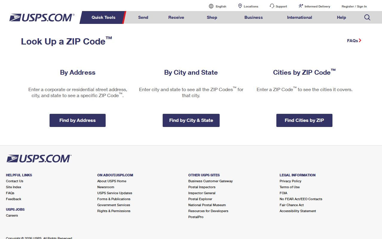
USPS confirms delivery information for the address entered. It does not confirm property ownership, a Census boundary, a voter registration, or the people connected to an address.
Note: Recheck USPS when an older document uses a rural route, telephone-area label, or a community name instead of a current street line.
Canyon Lake ZIP Code Search Fields
The Texas SOS My Voter Portal is the ZIP-capable official tool documented in the research. ZIP narrows an individual name search along with county, date of birth, or VUID. It does not return everyone in a ZIP. The public property portals have different limits: CAD advanced fields were visible in the text capture, but a ZIP input was not exposed; the county tax system uses free-text address or owner modes rather than a published ZIP-wide search.
| My Voter Portal field | Type | ZIP-related use |
|---|---|---|
| First and last name | Text | Finds a matching individual; name variants may be needed. |
| County | County selection or text | Use Comal to narrow the statewide search. |
| Date of birth | Date | Helps distinguish same-name people in an individual search. |
| ZIP code | Text | Narrows residence or postal geography; it does not equal the CDP boundary. |
| VUID, voter unique identifier | Identifier text | Direct route when the identifier is known. |
| Search or polling-place route | Button or link | Returns available registration or polling information, or a non-match response. |
Registration data has privacy rules. Voters can seek web suppression, protected voters and address-confidentiality participants have stronger handling, and sensitive identifiers are not material for a directory search. A name, county, date-of-birth, and ZIP workflow is a focused confirmation route, not a ZIP resident roll.
Canyon Lake ZIP Search Path
Finding a person or parcel within a Canyon Lake postal area requires an address or a named individual first. No official portal captured in the research provides a complete ZIP-wide resident list. Begin with USPS for delivery geography, then use the record system keyed to the actual question. A property search follows a physical parcel. A voter check follows one person. ROAM follows parties, documents, dates, and legal descriptions.
- Enter the complete address in USPS ZIP Code Lookup and keep the returned location, ZIP or ZIP+4, and check date.
- Search the same physical location in Comal CAD or the County tax portal. Capture the situs, account or Geographic ID, subdivision, and legal description without converting the mailing field into a residence claim.
- Use Comal GIS to compare the parcel and local road or community label. Its map supports context, not a legal survey or postal assignment.
- For a specific registered voter, use the Texas SOS portal's individual workflow. For a Chapter 18 list request, ask the local registrar or SOS about permissible scope, current fee, and format.
- Once a ZIP has narrowed the area to a street, use the Canyon Lake street directory for the address-keyed CAD, GIS, tax, deed, and permit chain.
This sequence avoids the common mistake of treating a single postal number as a jurisdiction, parcel boundary, or complete resident search. Each database uses its own key and returns its own kind of evidence.
Canyon Lake Property Address Limits
Comal Appraisal District eSearch is the current parcel and assessed-owner route. It accepts an owner name, street number and name, property or owner identifiers, Geographic ID, subdivision, neighborhood, tax year, property type, and other advanced fields. Its street search is useful after USPS confirms a delivery address, but the documented text capture did not expose a ZIP field. Do not describe CAD as a ZIP-wide property list without a verified live field and result set.
The Comal County tax search similarly separates account number, owner name, owner mailing address, and Property Location. It uses address text rather than a published ZIP-wide mode. The tax record is a billing route, while a recorded deed supplies the legal title trail. Both can reinforce a parcel search without identifying all people connected to a code.
Canyon Lake Voter ZIP Narrowing
The Texas SOS My Voter Portal can narrow an individual registration search with ZIP, name, Comal County, date of birth, or VUID. Available results may include registration status, VUID, residence or polling information, districts, and election-related details. It is current lookup information, not a historic index and not proof of a person's presence at every address associated with a postal area.
A full voter-file request is separate from the portal. The county voter registrar and SOS are custodians for Chapter 18 list requests, and the requester should identify the statutory list, delivery format, date or range, county or precinct scope, and permissible use. The research did not locate a current Comal-specific price or CSV specification, so those details should be confirmed with the custodian.
Canyon Lake Census Context
Census QuickFacts for Canyon Lake CDP supplies context for the Census geography, not parcel assignments. The cited page reports a 2020 CDP population of 31,124, up from 21,262 in 2010. It is useful for understanding the size of the statistical area, but it cannot determine whether a particular street receives a given ZIP or whether someone lives at a particular address.
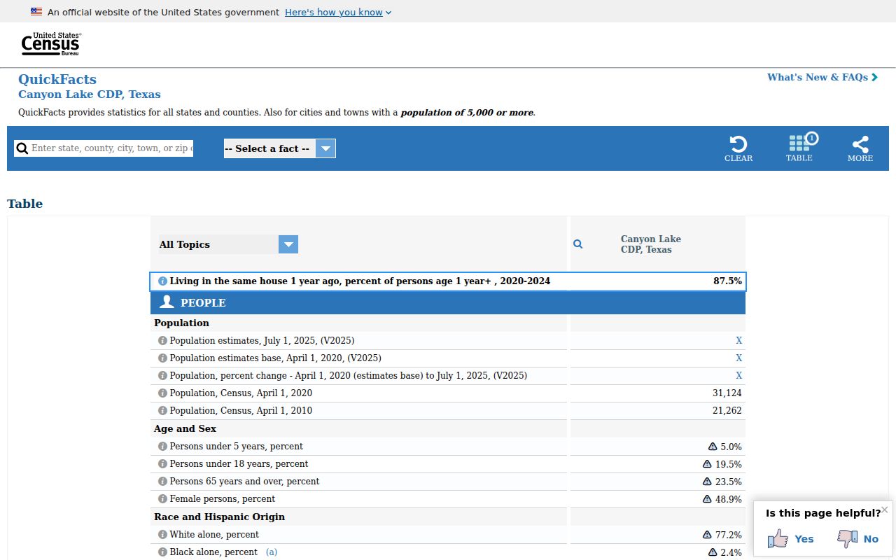
Use Census profiles to frame a broad area and USPS to verify a delivery address. The two sources answer different questions and should not be merged into a made-up ZIP boundary.
Canyon Lake ZIP Code Address Keys
Postal, property, and recorded-land systems use different address keys. Keeping a small reconciliation record prevents a ZIP code directory search from drifting across sources. Save the source spelling rather than standardizing away a road name, POA label, or community name. Sattler, Startzville, Cranes Mill, Canyon City, and Canyon Lake can be useful local search terms, along with FM 2673, FM 306, a subdivision name, New Braunfels, and Comal County.
- ZIP and ZIP+4
- A ZIP identifies a postal delivery area; ZIP+4 adds a more specific delivery segment when USPS returns it.
- PO-box ZIP
- A postal code used for post-office boxes, which is not proof of a physical parcel location.
- Unique ZIP
- A code USPS may assign to a single organization or high-volume receiver; no such Canyon Lake designation was located in the research.
- Carrier route
- A USPS delivery grouping. No Canyon Lake carrier-route inventory was located in the reviewed sources.
- Situs and legal description
- Situs is the physical parcel address; a legal description identifies land through a lot, block, subdivision, or metes-and-bounds wording.
CAD, GIS, and permits use the physical situs. Tax records can show a separate mailing address. ROAM deeds and plats rely on the legal description. A source can carry an old street name and a newer postal ZIP while the legal description remains unchanged.
Canyon Lake ZIP Code Boundary Limits
Canyon Lake does not have an incorporated city limit to compare with a ZIP boundary. It is a CDP, and ZCTAs can overlap that Census geography without representing every delivery address. A Canyon Lake postal label may appear outside the CDP, and a parcel within the broader lake area may use a regional label. The available research supports address-level USPS verification, not a claim that a code defines every lake-community address.
Historical directories add a second limit. New Braunfels-Canyon Lake directory volumes use dated telephone and community context, not modern postal geography. Do not assign a 1950s New Braunfels directory entry to a current 78133 ZIP unless a later source confirms the match. For an older address, preserve the period spelling and compare a map, plat, or deed before making a modern geographic connection.
Privacy boundary. A ZIP, property record, or voter search does not create a public roster. Respect protected voter records, address confidentiality, and the limits on personal data held by other custodians.