
Search Canyon Lake Streets by Address
For a Canyon Lake street directory search, begin with an exact street number and the normalized street name. The strongest current starting point is a parcel record, not a list of people. Match the physical location to the account or Geographic ID, then carry that identifier into the deed and permit trail. Canyon Lake is an unincorporated Census-designated place, so the main record keepers are Comal County offices rather than a city clerk or city property office. An owner field can establish a current assessed owner, while a record tied to a street can provide useful context without proving who occupies every address.
Use the address as the first key, then keep the property location, mailing address, subdivision, and legal description, the land identifier used in a deed, separate. The same postal street line can appear differently across systems. A lot and block or metes-and-bounds land description may remain stable when a mailing label changes. This route keeps the Canyon Lake street directory focused on documented address records rather than assumptions about a household.
- Search the exact number and street name in Comal Appraisal District eSearch. Record the situs, owner spelling, property or Geographic ID, and visible subdivision or legal-description details.
- Use the same location in Comal County GIS. Compare the map parcel with the appraisal identifier, remembering that the map boundaries are approximate rather than a survey.
- Cross-check the County tax search by Property Location when a billing record is useful. Keep its owner mailing field distinct from the physical situs.
- Search the current owner as a grantee in ROAM, then use the legal description, document type, and dates to find the transfer that brought the parcel to that owner.
- Use the Texas voter portal only to confirm an individual registration where lawful. It is not a web-based street roster, and a regional directory is the better dated source for a past address.
Note: Preserve the source spelling of every street and community label, especially where an FM road, subdivision, or postal city appears instead of Canyon Lake.
Canyon Lake Street Directory in CAD
Comal Appraisal District eSearch is the best current-owner starting point for an address. Its address help directs users to enter the number and street name without a prefix, suffix, or unit. The result is an assessed-property record, not a declaration that every person at the address is a resident. It can, however, supply the account and Geographic ID that make the rest of a street-by-street check more precise. The district says its database is updated each business day and should be verified before legal use.
| CAD field | Entry or control | Street-search use |
|---|---|---|
| Owner Name | Last First or Last, First | Tests a current assessed-owner name after an address result. |
| Street Number and Street Name | Separate text fields | Finds a normalized physical address without prefix, suffix, or unit. |
| Property ID and Geographic ID | Identifier fields | Connects the parcel to map and record work. |
| Subdivision and Neighborhood | Portal-generated selection | Helps distinguish similar street names and lake communities. |
| Tax Year and Property Type | Advanced controls | Refines the property record without creating a resident list. |
| Abstract, condo, or mobile-home park | Advanced search controls | Adds legal or development context when a street line is incomplete. |
A property account can show valuation and exemption fields as well as owner and situs details. A homestead exemption may be consistent with owner occupancy, but it does not establish every person at that location. That distinction matters throughout a Canyon Lake street directory search.
Canyon Lake GIS Parcel Checks
The Comal County geographic information system, or GIS, resources provide interactive maps, dashboards, PDFs, and downloadable data for a street check. Find the street or parcel, capture the displayed parcel or Geographic ID, and compare it with CAD. The research did not capture the live viewer's current layer names or click controls, so no specific layer, buffer, or measure function should be assumed. The county also cautions that its land boundaries are approximate and are not legal surveys.
GIS supplies map context and parcel geometry. It should lead back to a CAD account and, when needed, a deed or plat, rather than serve as final proof of a boundary or household.
Adjacent polygons can help locate the next parcel on a road segment. They do not automatically identify related households. A parcel can be vacant, held by a trust or company, or part of a larger ownership pattern that the map does not explain.
Canyon Lake Tax and Situs Fields
The Comal County tax property search is a billing cross-check, not the legal title record. It accepts an account number with exact dashes, an owner name in last-name-first form, an owner mailing address, or a Property Location search using a street number and name without type or direction. That last option is useful when a CAD search has already established the parcel but the tax statement or account route needs checking.
The mailing address and situs serve different purposes. A situs address is the physical parcel location used by property, mapping, and permit systems. A mailing address receives tax correspondence and can be a post-office box, business address, former address, or an address outside Comal County. Do not turn one into the other when recording a Canyon Lake street result.
Note: Tax search data can corroborate a billing account, but the County Clerk's recorded instrument is the stronger source for a transfer or legal-description question.
Canyon Lake Address Records by Source
A complete street directory check uses several address-keyed sources because each one describes a different part of the parcel's history. CAD is the current assessment route. GIS adds map context. The tax search handles billing information. The County Clerk holds recorded instruments, while County Engineer systems can document some property-related permits. The available channels also matter when a portal has no historic image or a record needs certification.
| Address record | Custodian | Street-level value | Access route |
|---|---|---|---|
| Appraisal parcel | Comal Appraisal District | Assessed owner, situs, identifiers, valuation, and visible exemptions | eSearch, updated each business day |
| Tax account | Tax Assessor-Collector | Billing account, owner and mailing-address route, property location | Public tax search |
| GIS parcel | County Engineer | Approximate parcel location, map context, and identifier links | Public GIS resources |
| Deed, plat, or lien | County Clerk | Parties, instrument, recording date, and legal description | ROAM, clerk request, or in-person research |
| Septic or OSSF permit | County Engineer / Environmental Health | Address, owner or applicant clues, subdivision, date range, and permit filing | Public search by date, name, address, subdivision, or map |
| Voter registration | Texas SOS and local registrar | Individual registration confirmation when not protected or suppressed | Individual portal or lawful custodian request |
When the online path ends, a County Clerk General Research Request can seek identified documents. It requires a document-specific request and known details such as a document number or volume and page. One to three documents are stated as up to 24 hours, and more than three as up to 48 hours; certified copies are not emailed.
Canyon Lake Deed Trails in ROAM
ROAM Land Records Online is the County Clerk's official public-records entry point for the sale and document side of a parcel. Search a current owner as grantee, then narrow with an instrument number, volume and page, date range, document or index type, grantor or grantee role, and legal description. ROAM also offers full or partial name searching, a phonetic option, business-name searching, and additional filters. Account or subscription access may apply, and the research did not locate an official online coverage start date.
Use the purchase deed, if available, to identify the seller. Searching that seller as a grantee may uncover the earlier acquisition. Stop when the property description changes, the result is no longer online, or the source becomes a clerk-held deed book or copy request.
A useful ROAM result inventory includes the index names and roles, document type, instrument number, recording date, volume or page or legal-description reference, and whether an image is available. A deed proves a recorded transaction, not who lived at the address on a particular day.
Canyon Lake Address Permit Trails
County Engineer records add a dated property layer that a deed index cannot supply. County systems cover septic or OSSF, floodplain, driveway, utility-crossing, subdivision, and related permit work for the unincorporated lake area. Permit files can include an address, subdivision, site plan, ownership proof, or applicant information. They should be read as property-work evidence because the applicant or owner-related party may not be the resident.
The Comal County septic record search provides date, name, address, subdivision, and map routes. The research did not locate an official start date for its permit index, so a missing online match should lead to the County Engineer or a written county request rather than a claim that no permit exists.
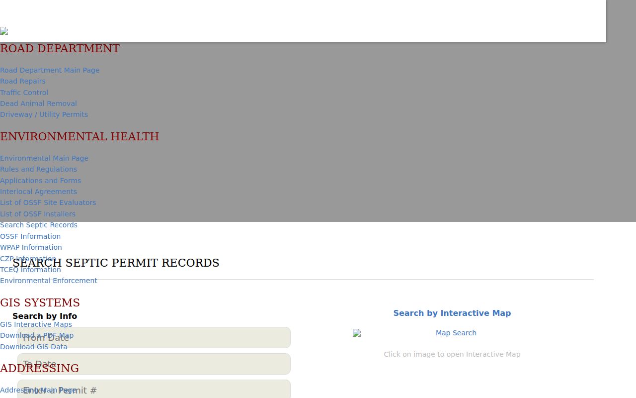
The permit search is most useful after CAD or GIS has confirmed the physical parcel. Save the permit number, address spelling, date, subdivision, and the type of filing before moving to another records channel.
Note: No Canyon Lake city building-permit or code-enforcement portal was located, because the area is not an incorporated municipality in the reviewed sources.
Canyon Lake Street Directory Terms
Address records use a few terms that look interchangeable but are not. Keeping them distinct makes a street search easier to repeat and makes a future deed or permit request more specific.
- Parcel
- A defined piece of land tracked by a property account or geographic identifier.
- Situs address
- The physical property location used in appraisal, mapping, and many permit records.
- Plat
- A recorded map that can show subdivision lots, blocks, roads, easements, and parcel geometry.
- Legal description
- Lot and block, subdivision, or metes-and-bounds language that identifies land in a deed.
- Criss-cross directory
- A reverse address arrangement that can associate an address with a dated directory entry when a collection provides one.
Use the property ID, subdivision, lot and block, or legal description when a plain street line fails. Those identifiers are especially helpful in rural or lake communities where a postal label, POA name, or FM-road reference can vary from one source to another.
Canyon Lake Street Labels and Communities
Canyon Lake records often use local community names alongside a postal city. County-hosted material identifies Sattler, Startzville, Cranes Mill, Canyon City, and Canyon Lake, and the surrounding road context includes FM 2673 and FM 306. Search those labels with a subdivision name, Comal County, or New Braunfels when a current address result is thin. They are source labels and search aids, not municipal boundaries.
Private-association areas can add another layer. Canyon Lake Hills, Mystic Shores, and Peninsula public pages describe geography, roads, amenities, and notices, but the reviewed sites did not provide public member directories. A POA name may help orient a parcel or subdivision search; CAD, ROAM, plats, and county permits remain the public-record routes for property facts.
Canyon Lake Regional Street History
For an older address, the available directory history is regional rather than a standalone Canyon Lake series. The UT Briscoe Center record identifies New Braunfels-Canyon Lake volumes for 1991, 1994 through 1998, 1999, and 2001. Those volumes can pair a dated address with a telephone or household entry for listed communities. They do not replace a present street-by-street property check.
TSLAC also lists New Braunfels directories for 1952-53, 1969, and 1975. Earlier documents may name a community, precinct, ranch, school, post office, New Braunfels, or Comal County rather than Canyon Lake, which is a later Census label. Pair a dated directory entry with the address spelling used at the time and a map, plat, deed, or census source before assigning it to a modern postal ZIP.
Canyon Lake Voter Address Limits
The Texas SOS My Voter Portal is an individual lookup for registration status, VUID, the voter's unique identifier, residence or polling information, districts, and related election details as available. The portal uses name, county, date of birth, ZIP, or VUID inputs. It is not a historical street directory and does not provide a public web roster for everyone on a road.
A Chapter 18 voter-list request goes through the county registrar or SOS and is subject to statutory conditions, redactions, and confirmation of current fees and format. Texas voter rules protect sensitive identifiers, and voters can request web suppression. Protected voters and address-confidentiality participants receive stronger residence-address handling. Ballot choices are not public voter-record information.
Canyon Lake Street Directory Limits
A street directory can document parcels, assessed owners, recorded transfers, some permits, and an individual registration route. It cannot establish every person at an address. People who are not reflected in a parcel-owner field, unrelated household members, utility customers, delivery customers, protected voters, and DMV addresses are not a public street roll. A map can show adjacent parcels, but it cannot certify a legal boundary or turn those parcels into a household census.
Texas public-record access also has privacy boundaries. Use the custodian's correction or redaction process for a specific record, and do not publish protected information from a request response. Personal research must respect address confidentiality, Election Code protections, and the federal limits on DMV data.
Lawful use. Canyon Lake address records support personal, lawful research. Texas law can apply when record information is used to stalk, harass, threaten, impersonate, or expose protected people.